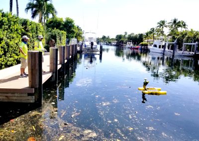
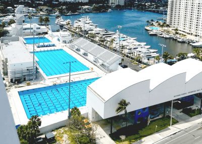
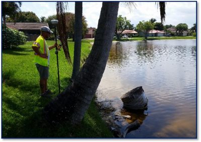
CPC is involved in an extremely wide variety of information gathering activities and applications to design, develop, and operate systems for collecting and analyzing spatial information. Our Geomatics group utilizes technologically advanced tools like robotic total stations, global positioning system (GPS) equipment, digital aerial imagery, laser scanning, building Information modeling (BIM) and computer-based geographic information systems (GIS) to provide our clients with the most cost efficient and innovative solutions.